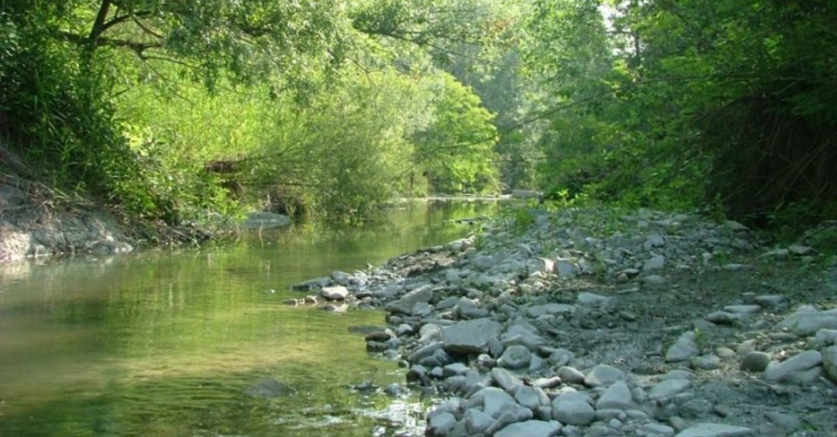
Do you know which are the paths in the Stirone Park? The Stirone and Piacenziano park, often also called “Stirone park”, is a protected regional natural area of Emilia-Romagna, located between the provinces of Piacenza and Parma.
Where is the Stirone and Piacenziano Park
The Stirone Area is located between the provinces of Parma and Piacenza, in the municipalities of Fidenza (PR), Salsomaggiore Terme (PR), Alseno (PC) and Vernasca (PC), and develops on the sides of the stream, with an amplitude average of about 1 km, from the locality of La Villa, upstream, up to the bridge on the Via Emilia, in Fidenza.
The Piacenziano Area develops throughout the Piacenza area and protects the nine stations of the Ex Riserva, physically separated from each other, distributed in five different valleys, and falling within the Municipalities of Castell’Arquato, Lugagnano Val d’Arda, Vernasca, Gropparello and Carpaneto Piacentino.
Here are all the paths you can take in the Stirone and Piacenziano parks:
- Ciclovia dello Stirone
- Percorso La Bocca
- Percorso Quartiere Luce
- Percorso San Genesio
- Sentiero del Monte Giogo
- Sentiero del Monte La Ciocca
- Sentiero del Rio Carbonaro
- Sentiero del Rio Rosello
- Sentiero del Rio Stramonte
- Sentiero del Torrente Arda
- Sentiero di Fidenza
- Sentiero di San Nicomede
- Sentiero I laghetti di Laurano
- Sentiero La Bocca-Tre Pioppi
- Sentiero Pietra Nera – San Genesio
What to see nearby?
In the park and nearby are the Castles of Vigoleno, Castell’Arquato and Scipione and other castles of the Circuit of the Castles of Parma, Piacenza and Pontremoli.
Photo by PR Stirone e Piacenziano


Discussion about this post